Pamunkey River Project |
|
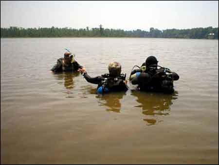
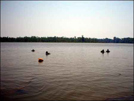
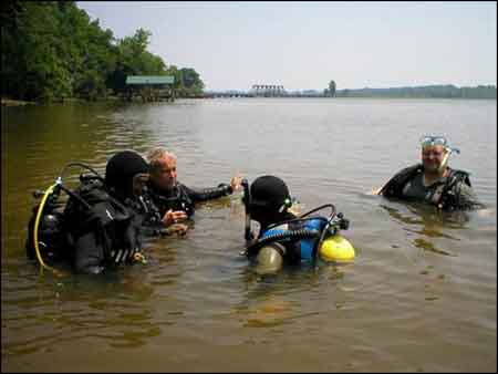
While no specific sonar targets were present along this stretch of the river, divers searched outward from the bank for evidence of additional hull structures. |
The divers worked in pairs, running radial sweeps from temporary datum points, Water depths were from 10-12 feet. In this instance, they found a few snags but no archaeological features. |
|
|
|
Next | |
Previous | |