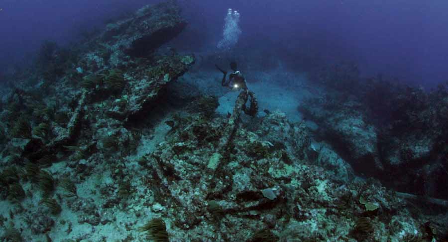
The work included mapping, photography, and measured drawing of feature. The wreck lies at the base of the reef in 40-45 feet of water.
The site is open to the northeast trade winds and thus the water is almost always rough and a strong surge makes working difficult and taking
precise measurements a distinct challenge.
|